Who is involved
The UK has recently basked in the warmth of its sunniest days, with the warmest recorded temperature of 22.9 degrees Celsius in Gogerddan, Wales. This pleasant weather has been a welcome reprieve for many, allowing communities to enjoy outdoor activities and the early signs of spring. However, as the saying goes, all good things must come to an end, and the forecast for Tuesday indicates a significant change in the weather pattern.
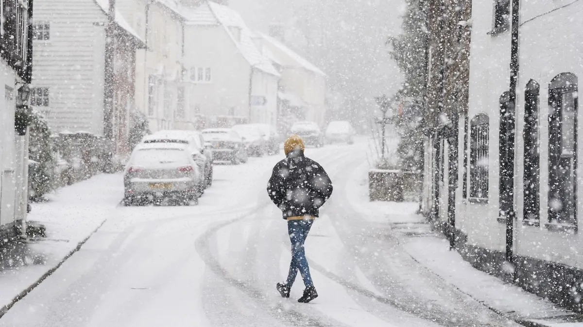
Forecasters are now predicting a dramatic shift as a cold front moves southward, bringing with it colder and wetter conditions. Temperatures are expected to drop from Sunday, plunging to widely below the average of 11 degrees Celsius for this time of year. The anticipated temperature range for Tuesday is between 6 to 10 degrees Celsius, but brisk northerly winds will make it feel much colder, closer to low single figures.
As the cold front settles in, rain is expected to spread into northern and western areas on Monday and Tuesday. This precipitation may turn wintry over higher ground, with snow likely in northern regions. In fact, snow could potentially reach lower levels in the north by Wednesday, marking a stark contrast to the warm weather just experienced. Ice formation is also a possibility on both Tuesday and Wednesday nights, adding to the wintry conditions.
Honor Criswick, a meteorologist, noted, “The weather is turning colder from Wednesday, but there will be both sunshine and showers.” This statement highlights the unpredictable nature of spring weather in the UK, where sunny spells can quickly give way to colder conditions and wintry showers. Steve Willington echoed this sentiment, stating, “While the early part of the period brings warm sunshine for many, it’s not unusual to see colder spells and even some wintry showers in March.”
Communities across the UK are advised to prepare for these changes, especially in areas prone to snow and ice. Gusts of wind reaching up to 40 mph are expected in north-west Scotland on Monday, which could exacerbate the chill and lead to hazardous conditions. Local authorities may need to mobilize resources to ensure safety on the roads and in public spaces.
As the weather evolves, it is essential for residents to stay informed. The Met Office will continue to provide updates on the Tuesday snow forecast, allowing communities to adjust their plans accordingly. The transition from settled, sunny conditions to a more mobile Atlantic regime is a classic seasonal reversal, reminding us of the ever-changing nature of the UK’s weather.
In summary, the upcoming Tuesday snow forecast full list reveals a significant shift in the weather, with colder temperatures and the potential for snow affecting many areas. As we navigate this change, it is crucial to remain vigilant and prepared for the wintry conditions that lie ahead. Details remain unconfirmed, but the community can expect to see a return to more typical March weather.